Showing all 4 results
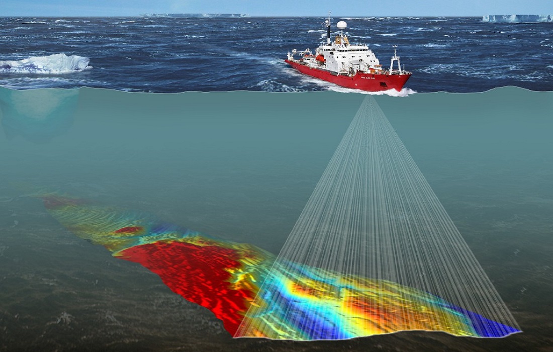
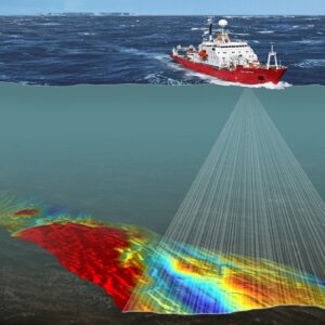
A bathymetry survey is the process of measuring the depth and topography of a water body, such as a river, lake, or ocean. It is the underwater equivalent of a topographic survey on land and provides detailed information about the submerged features of a water body, such as the shape of the seafloor, riverbed, or lakebed.
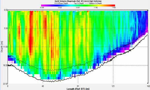
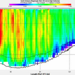
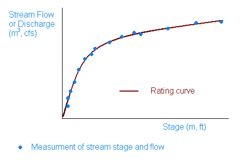
River cross-sections are fundamental tools for understanding the physical and hydraulic properties of a river. They are used in a wide range of applications, from flood management and discharge measurement to sediment transport and ecosystem conservation.